
Bushwalking
Marine park walking tracks run from many major anchorages. Whitsunday Peak, Hill Inlet lookout and the Ngaro Sea Trail are the pick of them.
Step ashore and explore the Whitsundays on foot. Most of the islands are national park, with marked tracks that climb to lookouts, cross rainforest and lead to quiet bays. On a self-skippered charter you anchor at the start of the walk, take the dinghy in, and set out when the light and the tide suit you. Every Whitsunday Escape boat carries a copy of 100 Magic Miles, with maps and notes for each island walk.
Easy walks and lookouts
Hill Inlet lookouts, Whitsunday Island
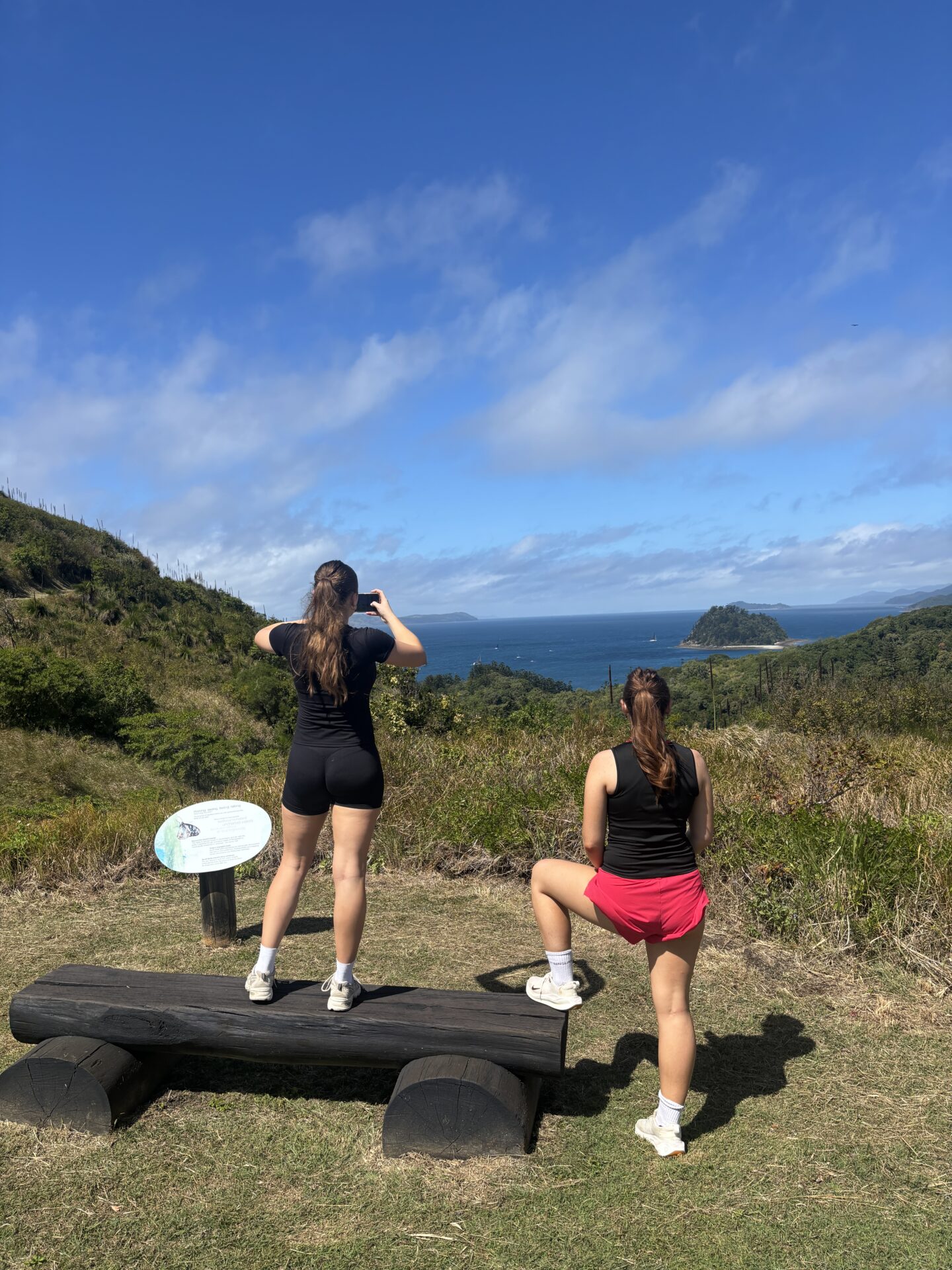
The most popular walk in the Whitsundays. Pick up a public mooring in Tongue Bay, land the dinghy on a rising or high tide, and follow the track to three lookout platforms over Hill Inlet. The swirling sand is usually clearest around mid to low tide. Take the branch down to Lookout Beach for a swim in the shallows.
Solway Circuit, South Whitehaven
A short, steady climb from the southern end of Whitehaven Beach to a rock platform over Solway Passage. The Chance Bay track branches off it for a longer, shaded walk to a secluded bay.
Ngaro Cultural Site, Nara Inlet
A steep, stepped track at the head of Nara Inlet leads to a cave with Ngaro rock art, more than 9,000 years old. Allow time to read the signs and take it in. Please do not touch the artwork.
Cateran Bay and Langford Island
Two short walks for a day stop. From Cateran Bay on Border Island, a steep start leads to a windswept saddle and two lookouts. On Langford Island, a short track climbs to a lookout with a native bottle tree, which flowers in October and November. Follow your briefing notes for the approach to Langford, as reef extends a long way from the island.
Moderate walks
South Molle Island, from Bauer Bay
Anchor in Bauer Bay and take the track from the right-hand end of the beach. Spion Kop climbs a long flight of steps to a summit lookout, with an optional detour to Balancing Rock. Mount Jeffreys rises gradually to the island’s highest point, with 360° views. The Sandy Bay track crosses open grassland and grass trees to a campsite on the far side of the island. Some tracks are shared with mountain bikers.
Dugong to Sawmill track, Cid Harbour
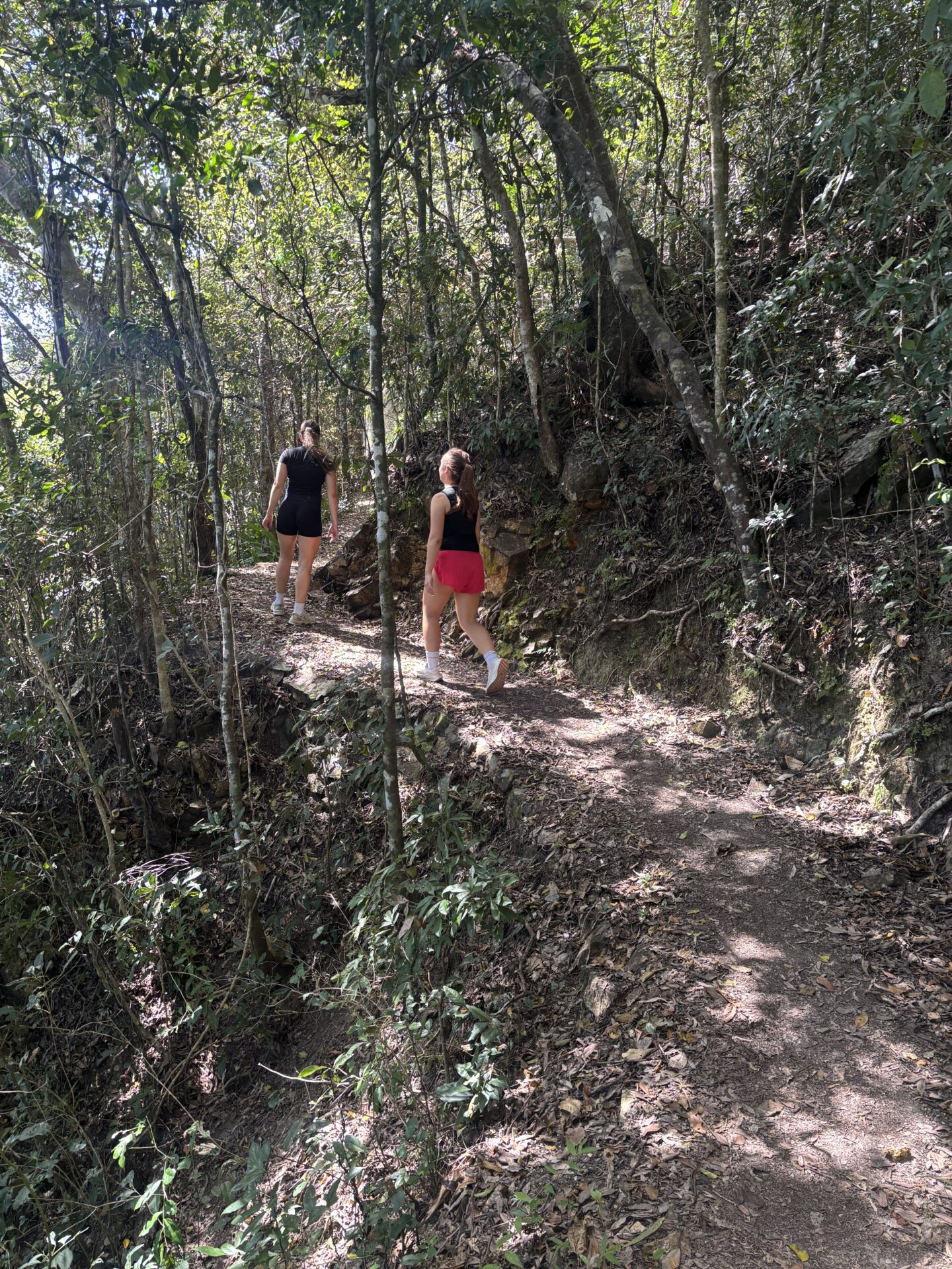
An easy rainforest walk linking Dugong Beach and Sawmill Beach in Cid Harbour. From Sawmill Beach you cross Sawmill Creek, so expect wet feet near high tide.
Challenging climbs
Whitsunday Peak, Whitsunday Island
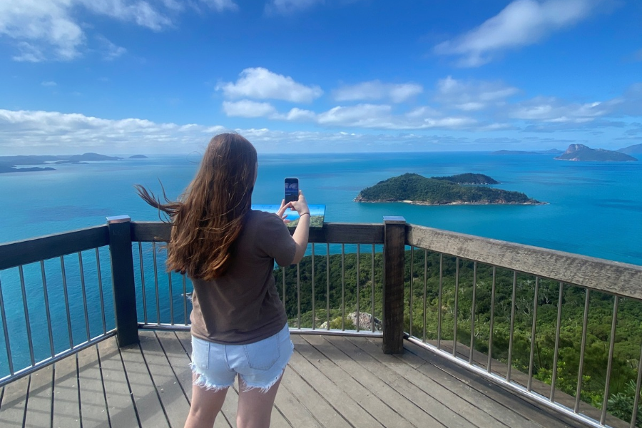
The climb from Sawmill Beach in Cid Harbour is steep, rocky and physically demanding. The reward is a view down over Cid Harbour and across the Whitsunday Passage. For experienced walkers only.
Whitsunday Cairn, Whitsunday Island
The track starts behind the trees at the northern end of Cairn Beach, where there are public moorings. There is no defined path, so follow the triangular markers over rocks and fallen branches. Keep going to the flat rock at the base of the Cairn for near 360° views. For fit, experienced walkers only.
Passage Peak, Hamilton Island
The climb to Hamilton Island‘s highest point has many steps and a steep final section, with panoramic views over the islands. Walk to Catseye Beach and start at the Scenic Trail entrance. You will need a marina berth, booked directly with Hamilton Island.
Walks near Airlie Beach
Before or after your charter, Conway National Park near Airlie Beach has tracks from short strolls to longer hikes, including the Mount Rooper circuit and Honeyeater lookout. Check Queensland Parks and Forests for track alerts before you go.
Walks & Hikes near Airlie Beach
Bushwalking safety
The islands are rugged and the weather can change quickly. A little planning keeps every walk enjoyable.
- Wear sturdy shoes, a hat and sunscreen, and use insect repellent.
- Carry 2 to 3 L of water per person on hot days, plus snacks for longer walks.
- Stay on the marked tracks, and do not touch stinging trees (large, heart-shaped leaves).
- Check the tide before you leave the dinghy, and pull it well up the beach.
- Allow time to be back aboard before dark. Carry a torch for sunrise or sunset walks.
- Tell someone on board your plans, and take a first aid kit.
- Take all rubbish back to the boat, as there are no bins in the national park.
- Check QPWS park alerts before you go, as tracks can close for maintenance or after storms.
Best time to go bushwalking
April to October is the best season, with cooler, drier days and steady south-east winds. In the warmer months, walk early in the morning or late in the afternoon and carry extra water. On your own boat you can time each walk around the tide and the light, rather than a tour schedule.
Bushwalking



1/6
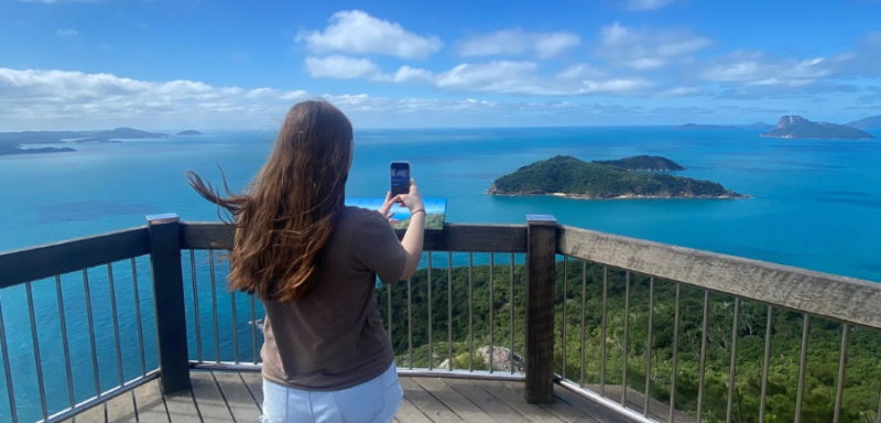


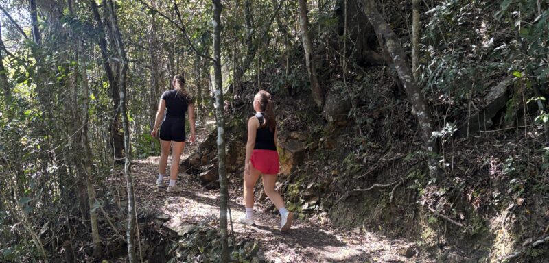
- Walk to Hill Inlet Lookout from Tongue Bay
- Climb the Solway Circuit at South Whitehaven
- Visit the Ngaro Cultural Site in Nara Inlet
- Summit Mount Jeffreys or Spion Kop on South Molle Island
- Take on Whitsunday Peak or Whitsunday Cairn
- Climb Passage Peak on Hamilton Island
Frequently Asked Questions
Do I need a permit to walk the island tracks?
No permit is needed for day walks in Whitsunday Islands National Park. Camping does need a QPWS permit, booked online.
What is the easiest walk in the Whitsundays?
The Hill Inlet lookouts from Tongue Bay. The track is short, well formed and leads to the most famous view in the Whitsundays.
What is the hardest walk in the Whitsundays?
Whitsunday Peak and Whitsunday Cairn are both graded difficult. The Cairn has no defined track and suits fit, experienced walkers only.
How do I get to the start of the walks?
Most tracks start at a beach. Anchor or pick up a public mooring nearby, then take the dinghy ashore. Your briefing covers where to anchor and how to land safely.
Whitsunday Islands walks at a glance
Distances and times are from Queensland Parks and Wildlife Service, unless marked otherwise.
| Walk | Island | Start point | Distance | Allow | Grade |
|---|---|---|---|---|---|
| Ngaro Cultural Site | Hook Island | Nara Inlet | 340 m return | 20 min, plus time at the site | Moderate |
| Lookout Beach | Whitsunday Island | Off the Hill Inlet track | 500 m return | 20 min | Easy to moderate |
| Langford Island walk | Langford Island | Beach landing | 600 m return | 20 min | Easy to moderate |
| Solway Circuit | Whitsunday Island | South Whitehaven Beach | 1.2 km circuit | 40 min | Moderate |
| Cateran Bay track | Border Island | Cateran Bay | 1.2 km return | 1 hr | Easy to moderate |
| Hill Inlet lookouts | Whitsunday Island | Tongue Bay | 1.4 km return | 40 min | Easy to moderate |
| Dugong to Sawmill track | Whitsunday Island | Dugong Beach or Sawmill Beach, Cid Harbour | 3 km return | 1 hr | Easy to moderate |
| Chance Bay track | Whitsunday Island | Off the Solway Circuit | 3.6 km return | 2.5 to 3 hr | Moderate |
| Spion Kop | South Molle Island | Bauer Bay | 4.6 km return (our guide) | 2 hr | Moderate |
| Mount Jeffreys | South Molle Island | Bauer Bay | 6 km return (our guide) | 3 hr | Moderate |
| Sandy Bay track | South Molle Island | Sandy Bay | 8.4 km return | 2 hr | Moderate |
| Whitsunday Cairn | Whitsunday Island | Cairn Beach | 4 km return | 3 hr or more | Difficult |
| Whitsunday Peak | Whitsunday Island | Sawmill Beach, Cid Harbour | 5 km return | 4 hr | Difficult |
| Passage Peak | Hamilton Island | Scenic Trail entrance, Catseye Beach | 5.4 km return (Hamilton Island) | About 2 hr | Challenging |
Staff tip: pair a short walk with your anchorage for the night. Hill Inlet at sunrise from Tongue Bay, or the Solway Circuit before sunset at South Whitehaven, is the best way to finish a sailing day.